
World News
Met Office Warns Developing El Niño Could Be Strongest in Living Memory

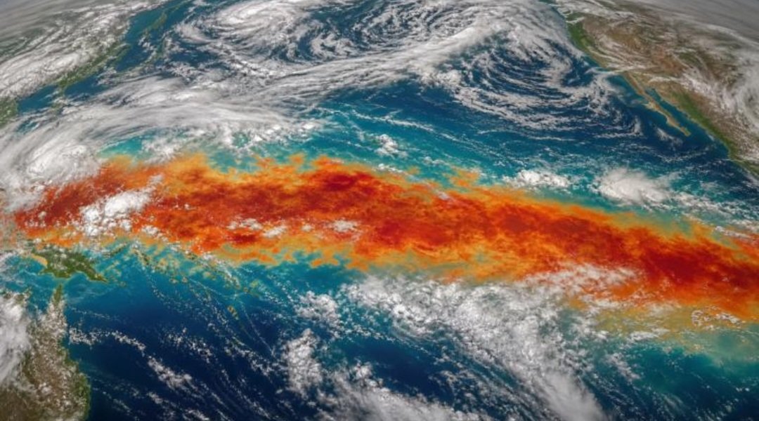
The developing El Niño weather pattern could become the strongest in living memory, Britain’s Met Office has warned, raising concerns about a new wave of extreme weather and potentially record global temperatures.
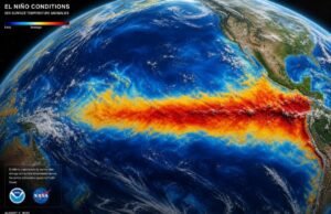
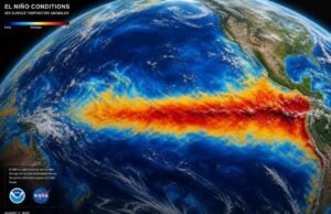
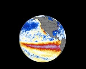
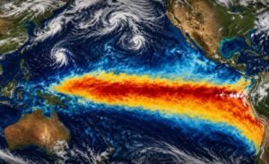
The climate phenomenon is developing across the tropical Pacific and is expected to intensify significantly in the coming months. According to the Met Office, current forecasts indicate an unusually powerful event, with some models projecting equatorial Pacific sea-surface temperatures more than 3°C above average later this year.
Professor Adam Scaife, head of long-range forecasting at the Met Office, described the projections as unprecedented, saying he had never seen an El Niño signal of such intensity in the agency’s forecasts.
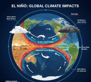
El Niño is a naturally occurring climate pattern associated with the periodic warming of surface waters in the central and eastern tropical Pacific Ocean. It typically occurs every two to seven years and can last between nine and 12 months.
The warming disrupts normal atmospheric circulation and can alter rainfall, temperatures and storm patterns across large parts of the world. Its effects can include drought in some regions and flooding or unusually wet conditions in others.
The potential strength of the current event has prompted particular concern because it is developing against a backdrop of human-induced climate change, which has already pushed global temperatures to exceptionally high levels.
The Met Office says the combination could make 2027 very likely to become the hottest year on record, potentially surpassing the current record set in 2024.
Scientists are also watching the potential consequences for agriculture and food security. A powerful El Niño can disrupt rainfall patterns in major agricultural regions, increasing the risk of drought, crop losses and water shortages in some countries while bringing excessive rainfall and flooding to others.
Recent reports have already linked El Niño-related weather disruptions to heavy rainfall and flooding in parts of South America and Asia, highlighting the broad reach of the phenomenon.
The event could also influence extreme weather patterns across different continents. In parts of Europe, for example, forecasters expect El Niño to contribute to wetter and stormier conditions during parts of autumn and early winter, although its effects vary considerably by location and season.
The Met Office stressed that forecasts can change as the event develops, but the strength of the current signal has raised the prospect of an exceptional climate event.
If the projections hold, the 2026-27 El Niño could become one of the most consequential climate events of recent decades, with implications ranging from extreme weather and agriculture to global temperature records.
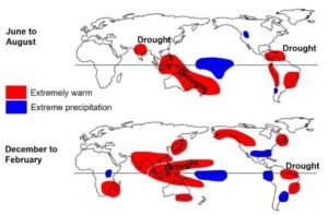
For governments and communities, the warning provides an opportunity to strengthen preparations for possible flooding, drought, heatwaves and disruptions to food and water supplies as the event develops.