General News
Satellite Images Show China Sealing Off Key South China Sea Shoal
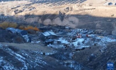
China has taken fresh steps to tighten its control over a disputed shoal in the South China Sea, deploying vessels and a floating barrier to block access to the area, according to newly released satellite images.


The images, captured on April 10 and 11, show Chinese fishing boats and coast guard ships positioned at the entrance of the shoal, alongside a floating barrier stretching roughly 350 meters across its mouth. The move appears aimed at restricting entry, particularly for Filipino fishermen who have long operated in the waters.
The shoal; located within the Philippines’ exclusive economic zone, but also claimed by China, has remained a flashpoint in the broader South China Sea dispute. Beijing has effectively controlled the area since 2012, despite a 2016 international arbitration ruling that found its expansive claims had no legal basis.
Philippine authorities say Chinese vessels continue to maintain a presence in the area even after reports that the barrier was briefly removed, raising concerns about sustained restrictions on access and fishing activities.
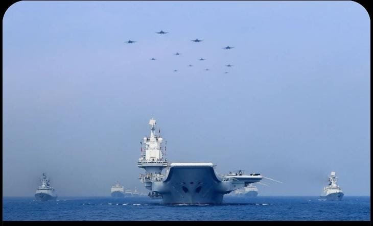
The development comes amid escalating maritime tensions in the region, with increased patrols, confrontations, and joint military exercises involving the Philippines and its allies, including the United States. Analysts warn that continued militarization and blockades in contested waters could heighten the risk of confrontation.
South China Sea remains one of the world’s most strategically important waterways, rich in fishing resources and believed to hold significant oil and gas reserves, making disputes over features like the shoal particularly sensitive.